The AVS Journal
Aerial Photography for Large Lots: Show Space with Purpose
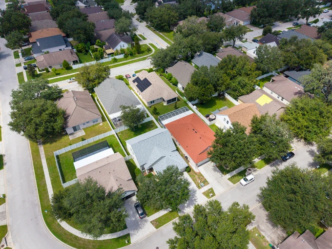
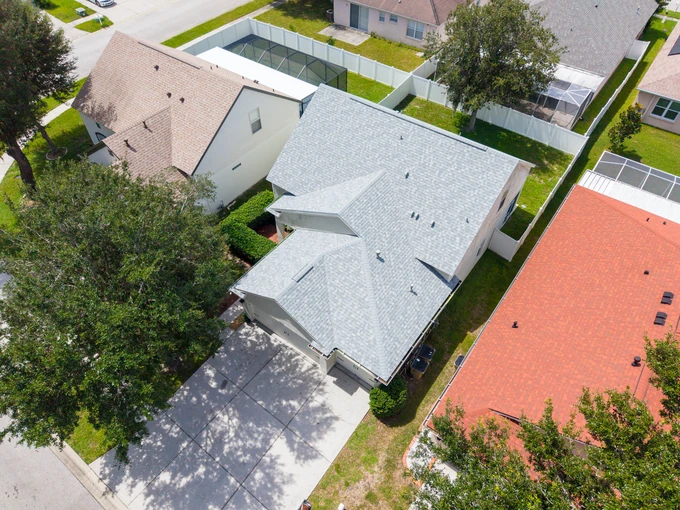
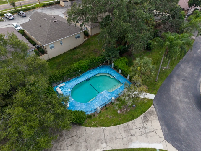
For a large lot, aerial photography should explain how the land is organized rather than simply make it look extensive. Distinct views can show the building group, outdoor uses and wider setting while leaving measurements and boundaries to verified documents.
Identify the features that organize the land
Prepare a brief with the main residence, outbuildings, driveway, garden areas and other relevant features. State which are included in the listing and accessible for capture. This helps AVS choose views with a clear subject. An aerial filled mostly with trees can be attractive but may leave the property's usable spaces unexplained.
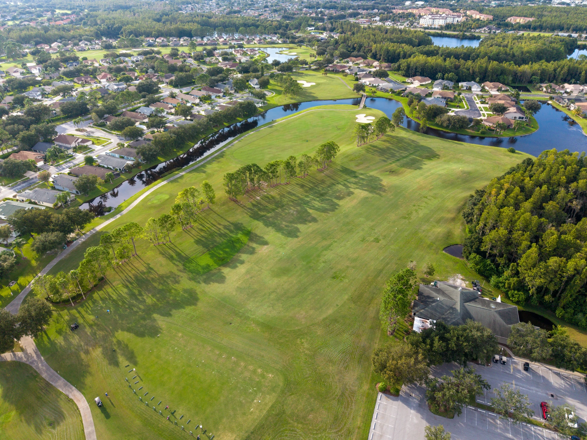
Use more than one visual scale
A closer view can establish the building arrangement, while a wider one can place it within the surrounding landscape. Neither needs to show every feature at once. Select images that remain understandable at normal gallery size, and use ground photographs for entrances, surface condition and details that disappear in a distant aerial.
Handle boundary graphics carefully
Ask whether an outline is genuinely necessary. If it is, provide an appropriate verified reference and agree how uncertainty will be communicated. Fences, mowing patterns and tree lines are not reliable substitutes. Never let an illustrative overlay become the only information a buyer receives about the extent or legal configuration of the parcel.
Example: a house with a workshop and long drive
One illustrative image could show the home and workshop together, another the approach from the road, and a third the rear outdoor area. The sequence answers different questions. Repeating three distant views of the entire site would probably explain less about how someone actually arrives and moves around it.
Plan large-lot coverage
- List included buildings and outdoor features.
- Provide clear entry and parking instructions.
- Choose separate views for buildings, approach and setting.
- Supply verified records if boundary annotation is requested.
Frequently asked questions
Can the acreage be calculated from the photo?
Do not use a marketing aerial to establish acreage. Use the appropriate verified property records or measurements and keep those figures consistent across the listing.
Does a larger property always need more images?
Not necessarily. The number should reflect distinct information. A simple large parcel may need fewer views than a smaller property with several separate buildings and outdoor areas.