The AVS Journal
Drone Photography: Show the Setting Beyond the Front Door
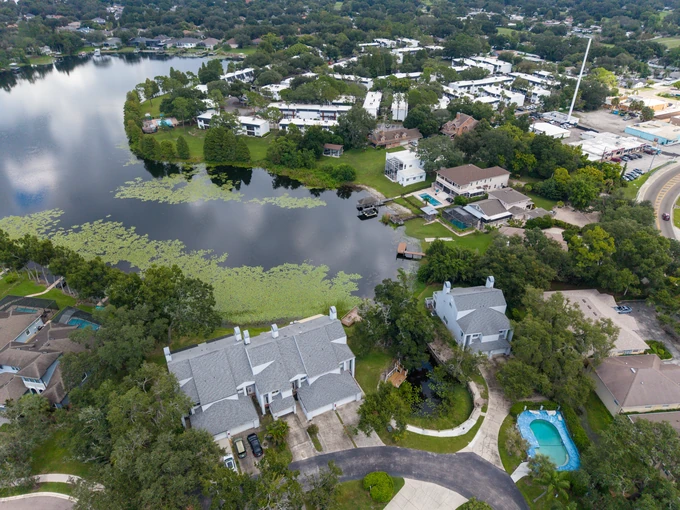
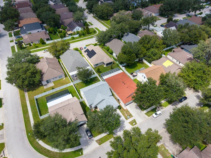
Drone photographs are most useful when they explain a property in relation to its surroundings. Plan the aerial coverage around questions a ground-level photograph cannot answer, such as where the outdoor spaces sit or how the buildings connect.
Start with the information missing from ground views
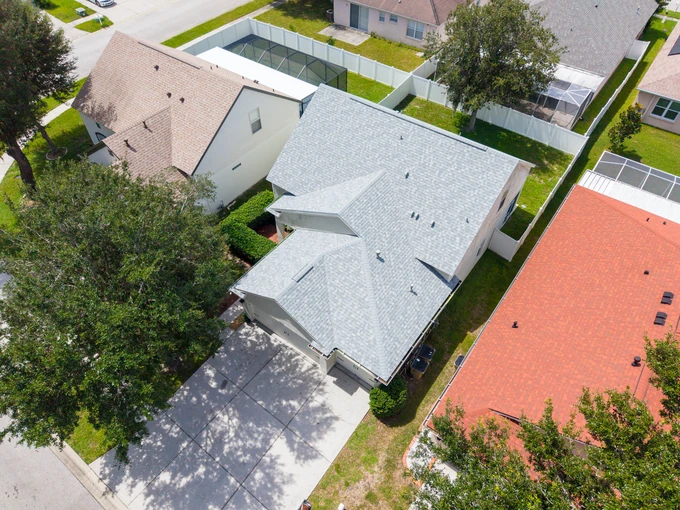
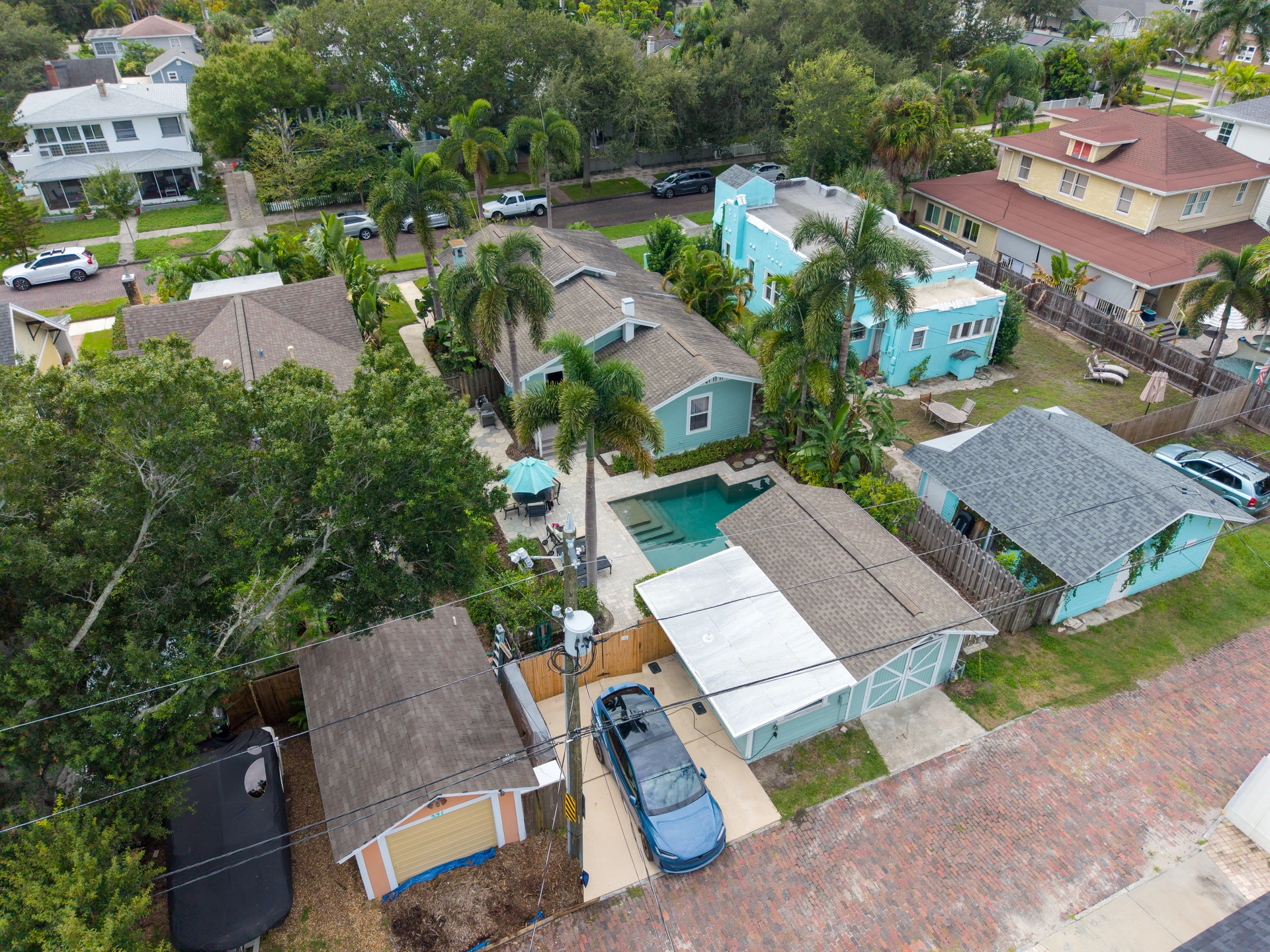
List the features that are difficult to understand from the driveway: a detached structure, a long rear garden, a pool behind the home or the position of a corner lot. Ask for views that answer those questions. A high, distant image is not automatically informative if the property becomes too small to identify.
Choose a sequence with different jobs
A useful selection might introduce the building, show the outdoor layout and then provide wider context. Those are distinct purposes. Several images taken from nearly the same height and direction can add little. Discuss the intended gallery with AVS so the aerial images complement the interior and exterior photography rather than repeat it.
Keep surrounding features accurately described
A beach, park or marina visible in the distance does not establish ownership, access rights or walking distance. Verify those details separately before writing captions. Property lines should not be guessed from fences or landscaping. If an annotation is needed, provide reliable reference information and confirm the proposed wording before the image is published.
Example: explain a detached guest space
For an illustrative listing with a main house and separate guest building, one angled aerial could show their physical relationship and connecting path. Ground-level photographs would then explain each entrance and interior. The aerial supplies context; it should not be presented as evidence of the building's permitted use or measured size.
An aerial photography brief
- Identify the main building and important outdoor features.
- Explain what the ground gallery leaves unclear.
- Supply verified information for any requested annotations.
- Confirm access and allow the operator to assess flight conditions.
Frequently asked questions
Does every listing need drone photographs?
No. If a clear ground-level gallery already explains the property and its setting, aerials may add little. Consider them when layout, land or surroundings create a specific information gap.
Can a drone photograph replace a survey?
No. It is a visual marketing asset. Boundaries, measurements and legal property information should come from appropriate verified records, not an interpretation of the photograph.