The AVS Journal
Neighborhood Context in Aerial Photos: Keep the Story Accurate
Neighborhood aerials can help buyers understand a property's setting, but their captions need to distinguish visible surroundings from verified access or proximity claims. The photograph should orient the viewer without suggesting that every attractive feature is part of the listing.
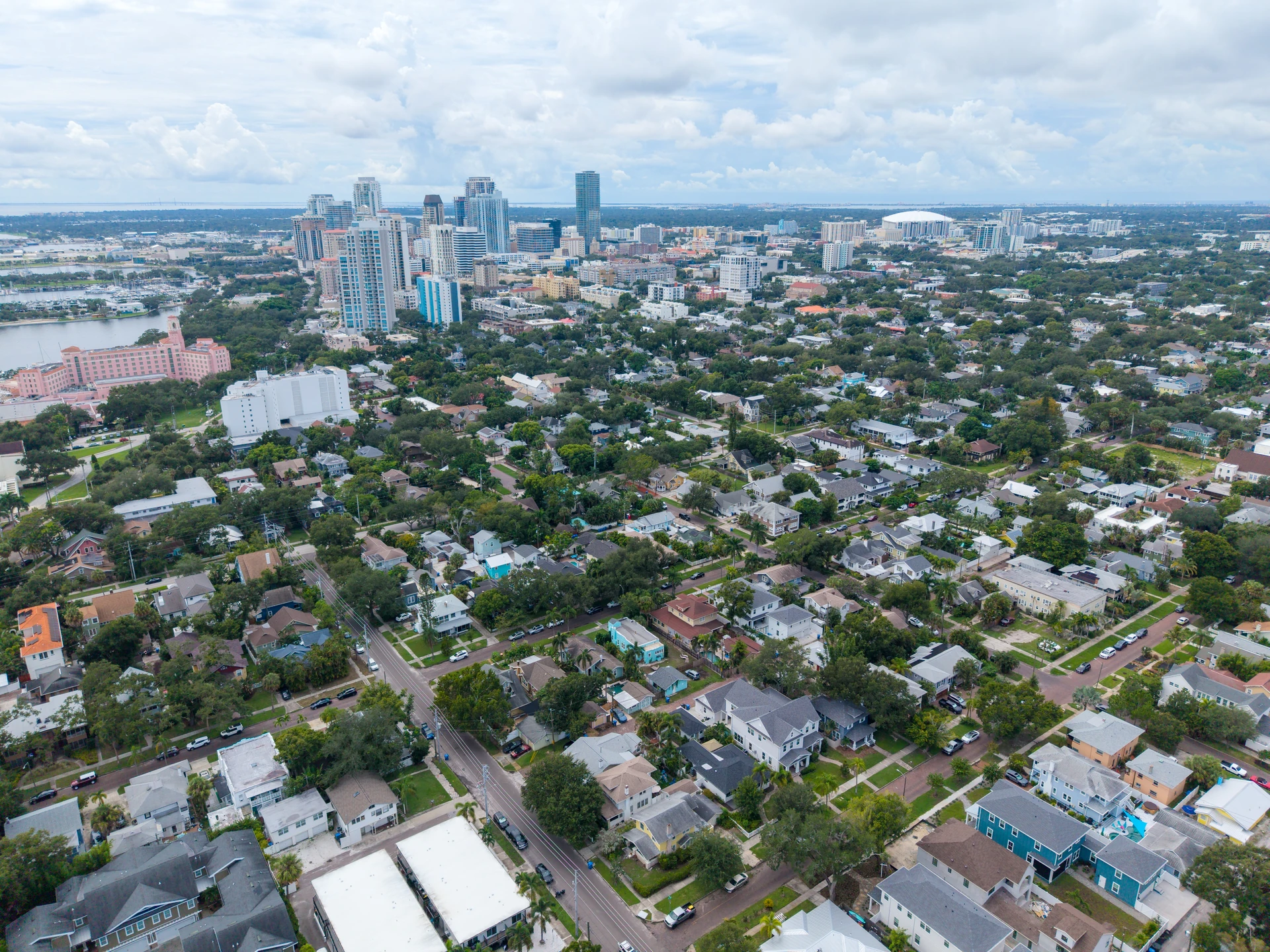
Keep the property recognizable in the wider view
A very wide aerial may include useful surroundings while making the home impossible to locate. Pair it with a closer view or use a carefully verified marker when appropriate. Choose context that matters to the listing: street arrangement, surrounding density or the relationship to a visible landscape feature, rather than an unrelated scenic panorama.
Verify distances before mentioning them
Do not estimate walking or driving time from an aerial. Routes, entrances and access points can make a nearby-looking feature less directly reachable. If distance or travel time is important, check an appropriate source and describe the basis accurately. Often a simple caption naming the visible setting is clearer than a precise but unsupported number.
Avoid implying ownership or guaranteed access
A nearby park, beach, dock or golf course may be visible without being an included amenity. Review the caption with the listing details. The same caution applies to graphic arrows and labels: their placement can suggest a connection even when the wording is vague. Use overlays only when they clarify a verified fact.
Example: a home near the coast
An illustrative neighborhood aerial might show the coast beyond several streets. Describe that as wider coastal context if accurate, and retain photographs of the actual property's outlook. Do not label the home waterfront or imply a direct beach path solely because the water appears in the same frame.
Review neighborhood context
- Can viewers identify the listed property?
- Are place names and labels verified?
- Are access and distance statements supported separately?
- Does the sequence include the property's actual ground-level setting?
Frequently asked questions
Can I add arrows to nearby attractions?
Only use accurate labels that do not imply inclusion or access that has not been established. Keep the underlying photograph available without graphics for other uses.
Is a neighborhood aerial necessary for every listing?
No. Include it when it resolves a relevant question about the setting. A clear property-focused gallery is preferable to context images that add confusion.